 i
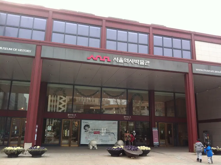
Seoul Museum of Historyجونغنو غو
The Making of Seoul's Urban Future
انتهى هذا المعرض.
Marking 60 years since Seoul's first 1966 master plan, tracing how early urban visions shaped the city's growth and imagining what comes next.
موقع المتحفالمزيد في سول
In August and September 1966, about 800,000 Seoul residents filed past drawings and models of their city's future, set up at what is now Seoul Plaza. This show revives that public display for the 60th anniversary of Seoul's first master plan.
It follows how the plan shaped Gangnam and Yeouido, along with the roads and subway that came after. On show are hand-drawn planning documents and maps that were once classified, including early proposals for spreading Seoul's administrative, economic and cultural functions across several districts, and a 1966 planning pamphlet with redacted content. Next time you're wedged into the crowd at Gangnam Station, remember that it began as a line on one of these maps.
A video installation on the third floor, made by the Seoul AI Hub Foundation and MIT's Senseable City, uses AI to read historical photos and show how the city's use of space changed. Entry is free, and the show runs in Special Exhibition Hall A until 8 November.
اختيار المحرر
بعد ستين عامًا على أول مخطط رئيسي لسيول، الذي وُضع عام 1966، يتتبّع المعرض أثر تلك الرؤى المبكرة في تشكيل المدينة، ويستشرف ما قد يأتي بعدها.
لا تفوّت
The once-classified maps
Hand-drawn planning documents and maps that show how the 1966 plan meant to spread Seoul's administrative, economic and cultural functions across several districts.
The redacted 1966 pamphlet
A planning pamphlet from the original plan, with parts of its content blacked out.
The third-floor video installation
Made by the Seoul AI Hub Foundation and MIT's Senseable City, it uses AI to analyse historical photos and visualise how the city's use of space changed over time.
مناسب لـ
- ثقافة بتكلفة قليلة
- عشّاق التفاصيل
أيضًا في Seoul Museum of History
يُعرض الآن في الجوار
 i
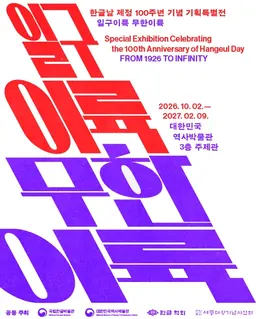
Ilgu Iryuk, Muhan Iryuk: مئة عام على يوم الهانغول (Ilgu Iryuk, Muhan Iryuk: 100 Years of Hangul Day)
National Museum of Korean Contemporary History
 i
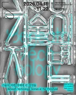
GanaArt Collection: ما وراء التكنولوجيا – مشاهد عند العتبة (GanaArt Collection: Beneath Technology — Scenes at the Threshold)
Seoul Museum of Art
 i
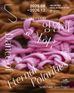
SeMA Public Space Project: Dance of Eternal Polarities
Seoul Museum of Art
في الجوار
مصادر الصور
8
- Seoul Museum of HistoryJjw / Wikimedia Commons, CC BY-SA 3.0
- Ilgu Iryuk, Muhan Iryuk: مئة عام على يوم الهانغول (Ilgu Iryuk, Muhan Iryuk: 100 Years of Hangul Day)Courtesy of National Museum of Korean Contemporary History
- GanaArt Collection: ما وراء التكنولوجيا – مشاهد عند العتبة (GanaArt Collection: Beneath Technology — Scenes at the Threshold)Courtesy of Seoul Museum of Art
- SeMA Public Space Project: Dance of Eternal PolaritiesCourtesy of Seoul Museum of Art
- MMCA DeoksugungKimhs5400 (블루시티), via Wikimedia Commons, CC BY-SA 4.0
- National Museum of Korean Contemporary HistoryTrace84 / Wikimedia Commons, CC BY-SA 4.0
- Seoul Museum of Artgypsycrystal, CC BY 2.0
- National Palace Museum of KoreaJinho Jung, via Wikimedia Commons, CC BY-SA 2.0